

Apmeklējumi šodien:
86, pašlaik vēro: 3.
86, pašlaik vēro: 3.


» Points of interest » Nature
| "Vējiņi " Subterranean Lakes | |||||||||||||||
|
|||||||||||||||
| Aņītes rock | |||||||
|
 |
||||||
| Battery hill – hillfort | |||||||
|
 |
||||||
| Ēdernieku rock | |||||||
|
|||||||
| Ēgļu Hill – castle mound | |||||||
|
|||||||
| Gūdu Rock | |||||||
|
|||||||
| Kvēpene Path | |||||||
|
|||||||
| Blacksmith cave (Vaidavas cave) | |||||||
|
|||||||
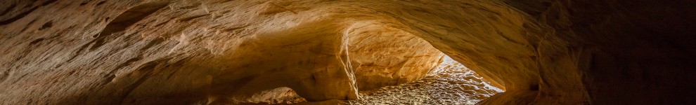
| Kvēpene Cave | |||||||
|
|||||||
| Kvēpene Fir | |||||||
|
|||||||
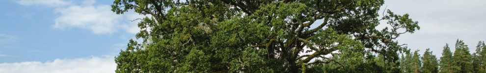
| Kvēpene Oak Tree | |||||||
|
|||||||
| Katrīna rock | |||||||
|
|||||||
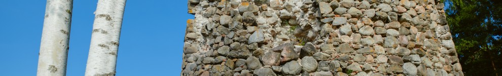
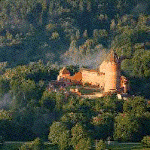
| Kvēpene castle mound | |||||||
|
|||||||
| Ķūķu cave | |||||
|
|||||
| Ķūķu cliffs | |||||||
|
|||||||
| Rock - Launagiezis | |||||||
|
|||||||
| Patkula cave | |||||||
|
|||||||
| Castle mound Panūtu | |||||||
|
|||||||
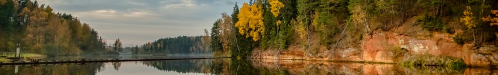
| The Red cliffs | |||||||
|
|||||||
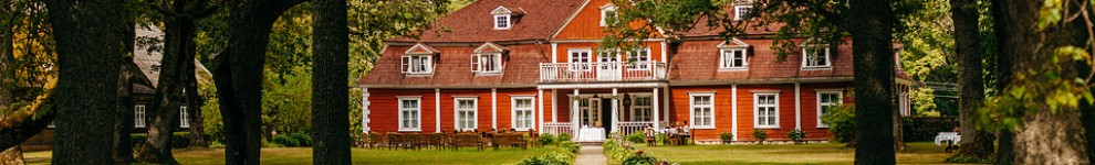
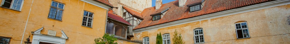
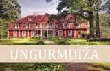
| Tree Trail of Ungurmuiža | |||||||||||||||
|
|||||||||||||||
| Ureles Castle Mound | |||||||
|
|||||||
| Vējiņi Castle Mound | |||||||
|
|||||||